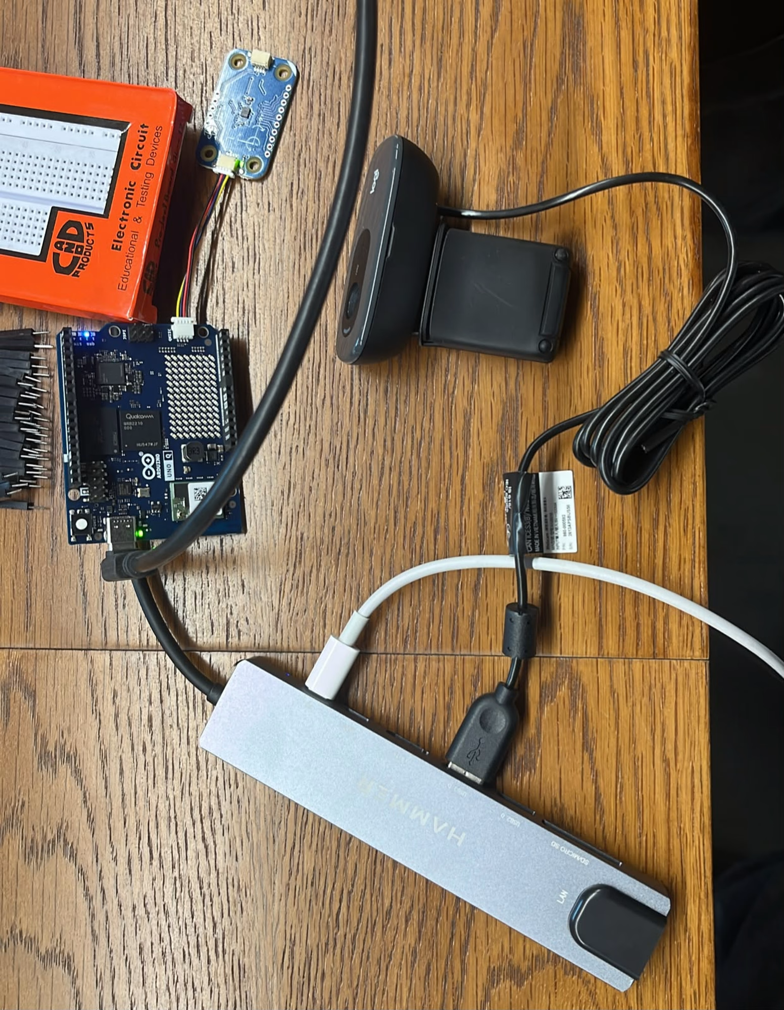
Inside the build
Team NammaDashcam
What they built: A smart, decentralized transit vision system that automatically maps road infrastructure quality. NammaDashcam flags structural impacts (like potholes) in real time with visual proof, streaming the geo-tagged telemetry data directly to a crowd-sourced platform.
What it solves: It solves asset management at scale for every city. It solves the massive inefficiency, delay, and lack of real-time data in road maintenance. Built for both local civic authorities who need automated, cost-effective infrastructure audits, and everyday commuters who suffer vehicle damage. By crowdsourcing verification, marking a pothole "resolved" when subsequent vehicles pass over the same GPS coordinates smoothly, it builds an active, self-healing map of city roads.
-
Source Code: Source Code
-
Social Post: Social Post
-
Circuit Design: Circuit Link